Sign up for the Morning Brief email newsletter to get weekday updates from The Weather Channel and our meteorologists.
Beryl is moving inland through eastern Texas after making landfall Monday morning.
You can track the storm with the following maps below. For the full forecast details, please read our latest article here.
Current Information
Satellite, Radar and Storm Information

Current Satellite and Radar
(Reds and oranges are suggestive of stronger winds and heavier thunderstorms.)Beryl's Wind Field Size

Current Wind Field
(The orange circle shows the extent of the system's tropical-storm-force winds (at least 39 mph). The purple circle indicates the extent of hurricane-force winds (at least 74 mph), according to the National Hurricane Center. Current sustained winds and wind gusts at reporting stations are also plotted.
)Current Wave Heights

Forecast Maps
Beryl's Cone of Uncertainty

Current Satellite and Forecast Path
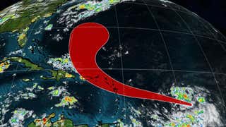
(The red-shaded area denotes the potential path of the center of the tropical cyclone. It's important to note that impacts (particularly heavy rain, high surf, coastal flooding, winds) with any tropical cyclone usually spread beyond its forecast path.)Forecast Rainfall

(This should be interpreted as a broad outlook of where the heaviest rain may fall. Higher amounts may occur where bands or clusters of thunderstorms stall for over a period of a few hours.)
Beryl's Track History


