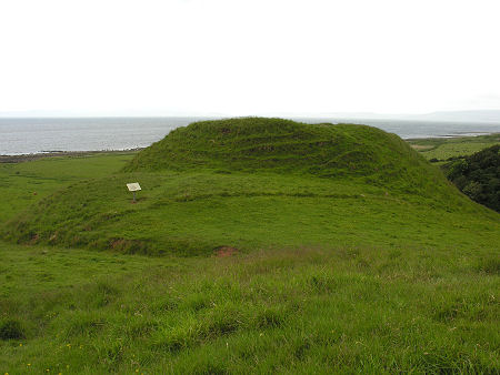
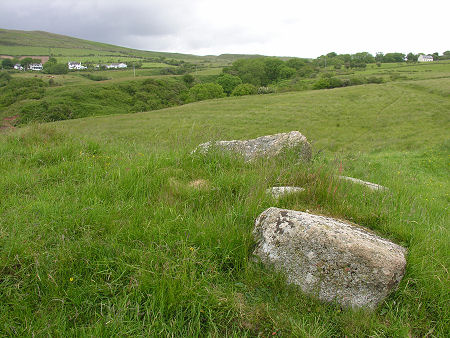
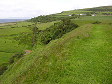
 Torr a' Chaisteal Dun from the Approach Path |
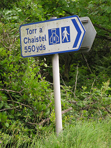
Torr a' Chaisteal Dun was a fortified farmstead built in about AD 200 on a knoll standing above the edge of the raised beach which runs behind the coast of this part of the Isle of Arran. We've stuck with the spelling of the name used on the Historic Environment Scotland information board erected next to the dun. It is spelled Torr a' Chaistel on the direction sign on the A841, and we've also seen it written as Torr a' Chaisteil. And some call it Corriecravie Dun.
It has to be admitted that you could visit Torr a' Chaisteal Dun without becoming any the wiser about what the structure that stood here originally looked like. The best local example is Kildonan Dun, a remarkably complete dun standing on a rocky outcrop above the east shore of the Kintyre peninsula just over nine miles from Torr a' Chaisteal and, if you had an excellent pair of binoculars, within sight of it across the southern end of the Kilbrannan Sound. Keep an image of this in mind, and it becomes more obvious what you are looking out for at Torr a' Chaisteal.
As originally built, Torr a' Chaisteal Dun would have been surrounded by massive walls of between 10ft and 12ft thick, enclosing a circular area some 45ft in diameter. The entrance was to the north-east and was defended by a curved rampart, 66ft long and 10ft thick, built around a lower platform on this side.
Defence was further improved by work done to cut a ditch across the neck of land linking the knoll with the hillside behind, forming a dry moat which would presumably have been crossed by a removable bridge when the dun was in use. The enclosed area of the dun itself probably comprised a courtyard and accommodation for people and animals.
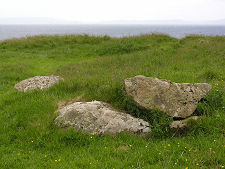
The passage of time, the reuse of stone, and the growth of vegetation all mean that it is difficult to appreciate the full majesty of Torr a' Chaisteal Dun today. On the other hand, the excellent location of the knoll on which it stood is obvious, and amongst the dense grass underfoot it is still possible to find traces of the lower courses of parts of the encircling wall.
Access to the dun is from the A841 a quarter of a mile or so south-east of Corriecravie. A Historic Environment Scotland direction sign points to the path which, oddly, starts off through someone's garden before emerging into the fields beyond. From here you pick your way across land that is boggy in places for a third of a mile en route to the dun itself. As the dun is in sight almost all the way to it, navigation is not an issue: the trick in finding your way back is to make sure you remember which house to head towards as you climb back up the fields.
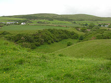
 Corriecravie from the Summit of the Dun |

|
|
|
Visitor InformationView Location on MapGrid Ref: NR 922 233 www.historicenvironment.scot HES: Dun Web Page Open all year and admission is free. What3Words Location: ///again.duke.wolves |
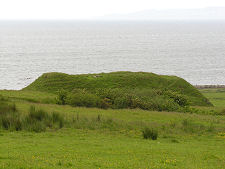 Another View of the Dun |
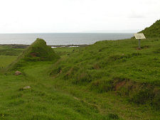 Ditch Cut Across Neck of Dun |
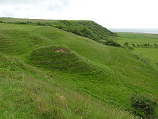 Looking South-East from Dun |
 Looking North-West from Dun |
