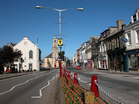
 Lanark, in Lanarkshire until 1975 |
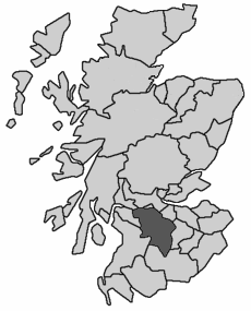
Lanarkshire, also known as the County of Lanark, was one of the 34 traditional counties into which Scotland was divided for administrative purposes. At its southern end it extended to the remote upland areas beyond Abington and around Leadhills. Its central areas were characterised by settlements such as Lanark, Biggar and Strathaven. And in the north it included a large part of the Glasgow conurbation, including Glasgow itself. Traditionally Lanarkshire was often divided into Upper, Middle and Lower Wards. The county town was Hamilton.
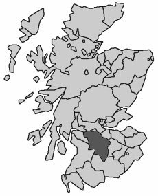
 Lanarkshire, 1890 to 1975 Note About Image Copyright |
Lanarkshire was bordered by Stirlingshire, West Lothian, Peeblesshire, Dumfriesshire, Ayrshire, Renfrewshire and Dunbartonshire. A tidying up of the map of counties which reduced their number to 33 in 1890 had no effect on Lanarkshire, which as a result remained a county in its own right until reorganisation in 1975 swept all the counties away in favour of 12 regions.
The regions formed in 1975 were the upper tier of a two tier local authority system, and the area which had formed Lanarkshire became part of the region of Strathclyde. Most regions were divided into a number of district council areas, and Strathclyde was divided into no fewer than 19 of them.
These were grouped into six sub-regions, mostly based on the traditional counties which had become part of Strathclyde. Most of Lanarkshire therefore became the Lanark sub-region of Strathclyde, and was divided into five district council areas: Clydesdale, East Kilbride, Hamilton, Monklands and Motherwell. Another part of what had been Lanarkshire became a Glasgow sub-region containing the City of Glasgow District Council area.
Regions and districts disappeared from the scene in a major reorganisation in 1996, being replaced by 32 unitary council areas. What had started out as the traditional county of Lanarkshire is today divided between North Lanarkshire, South Lanarkshire, and the City of Glasgow. A small part of what had been Lanarkshire also ended up in East Dunbartonshire.

