 |
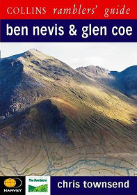
Produced in association with Harvey Maps and the Ramblers' Association, it comes as no surprise to find that this Collins Ramblers' Guide provides everything you need, except boots and a compass, to tackle 30 walks in the Ben Nevis and Glen Coe areas.
Walks are graded from "Easy" to "Very Difficult" and range from gentle strolls alongside lochs to the ascent of Britain's highest mountain. Each walk has a key illustrating principal features, such as level of difficulty and type of terrain, a route profile indicating altitude and distances, as well as a fact file summarising useful information, such as start and finish points, duration, safety advice and points of interest.
Combined with excellent photography; detailed maps of each walk prepared by Harvey Maps; clear, easy-to-follow instructions for each walk; the stories behind the main landmarks along the way; plus information on the natural history of the area.
The introduction looks at the topography, geology and history of the area, and describes the flora and fauna; gives information about access; the walker and the environment; path erosion; safety and mountain rescue; camping; and midges and other insects. An excellent book complete with a durable waterproof cover.
InformationPaperback: 192 pagesCollins www.harpercollins.co.uk May 2000 ISBN-10: 0002201151 Size: 5.8 x 8.3 inches Buy from Amazon (paid link) Visit Bookshop Main Page |
