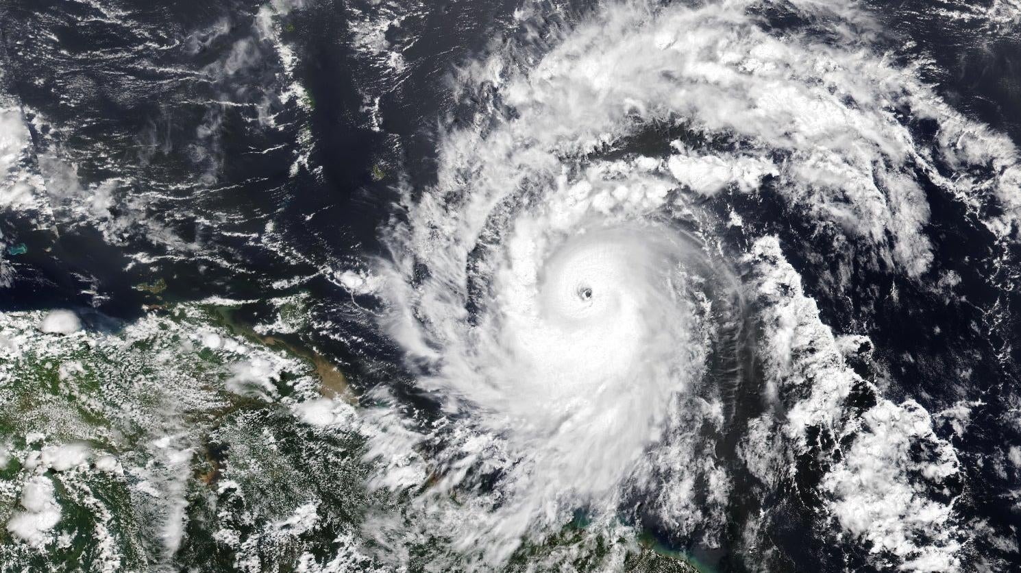
Hurricane Beryl was upgraded to a Category 5 storm earlier today, making it the earliest storm to hit the heavy-hitting benchmark on record. The storm’s winds peaked at a staggering 160 miles per hour (258 km/hr) as it continued its northwesterly course across the Caribbean.
Philip Klotzbach, a meteorologist at Colorado State University, stated on X that the previous record-holder was Hurricane Emily, which hit Category 5 status on July 17, 2005. According to The New York Times, Beryl will remain at least a Category 3 storm as it moves towards Jamaica.
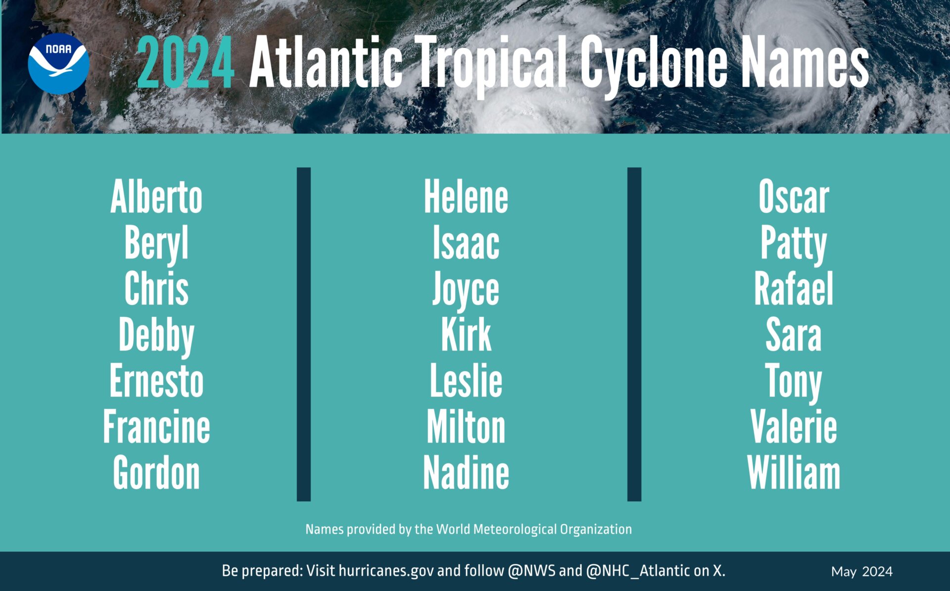
Unfortunately, Beryl’s expeditious intensity is not unexpected. In May, the National Weather Service predicted “above-normal” hurricane activity for the season, which runs from June 1 through November 30. Those months approximate the timeframe in which the Atlantic Ocean and the Gulf of Mexico tend to warm up, providing the conditions for massive storm systems to form over their waters.

NWS forecasters predicted up to 25 named storms for the season, four to seven of which were predicted to form major hurricanes, or storms with winds greater than 111 miles per hour (178.64 kilometers per hour). Category 5 storms are those with winds that exceed 157 mph (252 km/hr).
Beryl is the second named storm this year after Tropical Storm Alberto, which petered out in late June after dumping rain across coastal Mexico and Texas. Beryl is expected to enter the Gulf of Mexico by the weekend, though it’s not clear whether it will maintain its current intensity by the time it passes Jamaica.
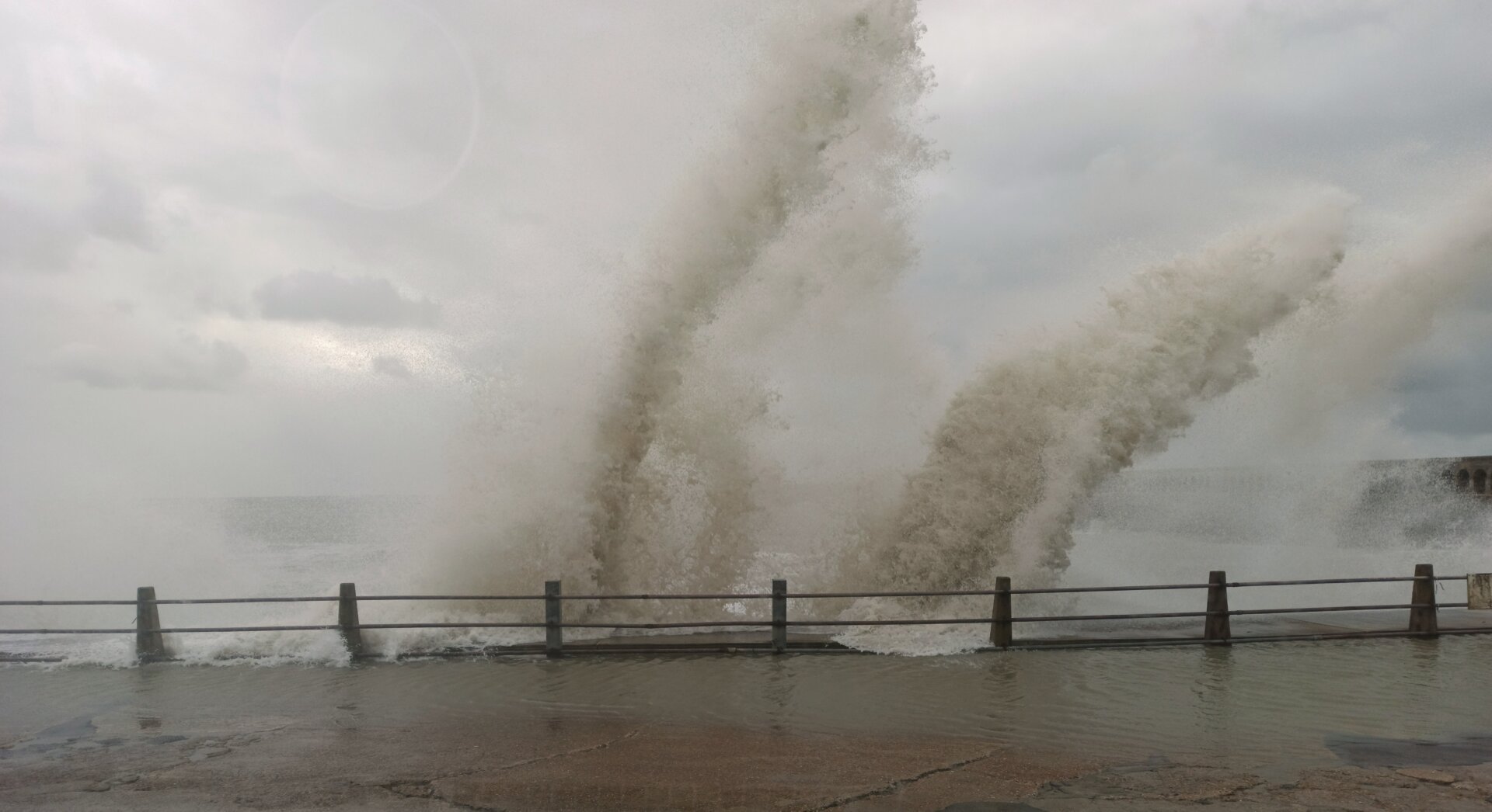
Life-threatening winds and storm surge are expected in Jamaica on Wednesday as Beryl continues to move west just south of Hispaniola. Jamaica is (obviously) under a hurricane warning, and NWS stated a tropical storm warning is in effect for the Cayman Islands and southwestern Haiti.
A paper published earlier this year in the Proceedings of the National Academy of Sciences proposed revising the Saffir-Simpson scale for hurricane categories to include a sixth category, to account for storms becoming more extreme as ocean temperatures warm. Though it’s hard to draw an explicit link between climate change and extreme weather, warming ocean temperatures and increased moisture in the air provide favorable conditions for more intense hurricanes.
“We expected that climate change was going to make the winds of the most intense storms stronger,” Michael Wehner, a coauthor of the paper and an extreme weather researcher at Lawrence Berkeley National Laboratory, told Grist at the time. “What we’ve demonstrated here is that, yeah, it’s already happening. We tried to put numbers on how much worse it’ll get.”
The team concluded that “a number of recent storms have already achieved this hypothetical category 6 intensity” and based on their models “more such storms are projected as the climate continues to warm.”
With the earliest Category 5 storm on record now whipping its way across the Atlantic, we’d better hunker down. The next few months are primed to be a doozy.
More: Hurricanes Now Twice as Likely to Strengthen and Grow, Study Finds