One Houston-area man is using the Whataburger app to check power outages around him following the landfall of Hurricane Beryl in Texas.
“The Whataburger app works as a power outage tracker, handy since the electric company doesn’t show a map,” BBQBryan said in a post on X. “Still nearly 1.9 million power outages.”
According to PowerOutage.us—an independent website that tracks outage maps across the U.S.—more than 2 million Texans are still without power. Beryl hit the Gulf Coast at around 4 a.m. on Tuesday as a category 1 hurricane. The 65 mph winds knocked down power lines and felled trees. At least eight people are dead and millions are without power.
The Whataburger app works as a power outage tracker, handy since the electric company doesn't show a map.
Still nearly 1.9 million power outages. pic.twitter.com/d8srWmw1oV— BBQ Bryan (@BBQBryan) July 9, 2024
Texas is home to more than 300 power companies that all do business a little differently. Many of them, in fact almost all, maintain outage maps that are updated live. It helps customers know the scale of an outage and where work is being done to return power. Websites like PowerOutage.us and USA Today’s tracker map just aggregate the data that’s posted by these local power companies.
The offending Houston area power company making it hard for customers to view an outage map seems to be CenterPoint Energy. “CenterPoint Energy’s primary outage management system is currently offline,” a note on PowerOutage.us says. “They are currently only able to provide the number of customers out across their entire service territory.”
There might be a few reasons for this. Outage maps are often close to real-time, the information is communicated back to the power company via receptors on-site that are part of an outage management system (OMS). These systems are often so granular that power companies can pinpoint a street or individual customer who is experiencing power loss. CenterPoint is still giving outage numbers on its website, it’s just not giving a detailed map.
Customers don’t always need that much information and a massive outage like this can tax the OMS. It takes a lot of data and power to communicate this amount of information in real-time. It’s possible that CenterPoint turned off real-time updates of its OMS so as not to overburden the system. Doing that is pretty routine during major events like a hurricane. CenterPoint did not return Gizmodo’s request for comment.
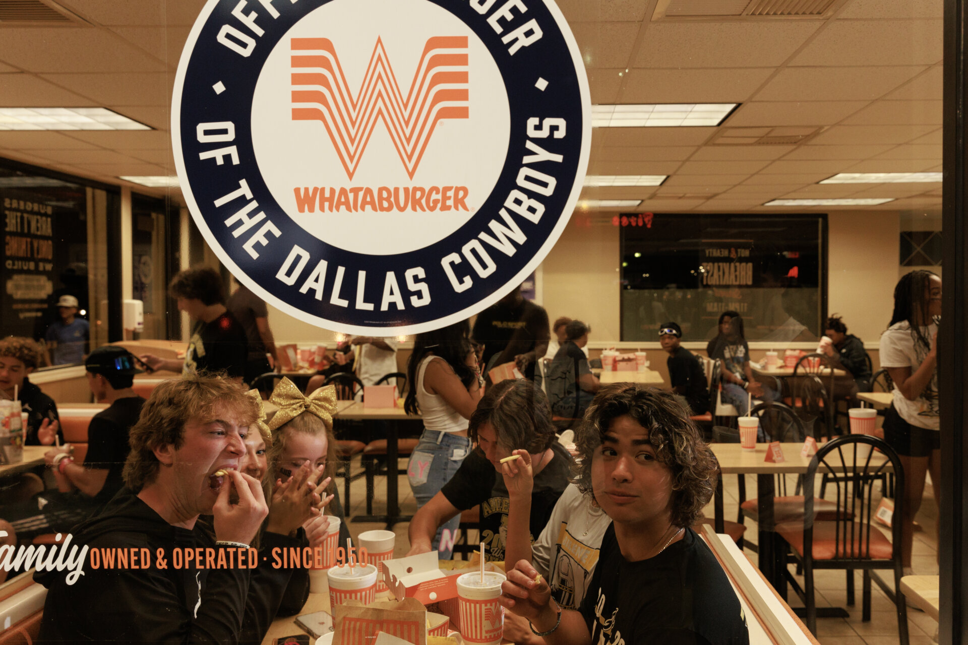
Americans, bereft of good information about natural disasters, turn their lonely eyes towards that which has long comforted them: fast food companies. Whataburger, a popular Texas-based burger joint, has an app that provides real-time information about which locations are open and which are closed. It’s a 24/7 business so Houston users can watch the map and get an idea of how power restoration is going as the orange W’s light up. It’s similar to the Waffle House Index, an old FEMA maxim that says you can know how prepared an area is for a natural disaster by how quickly the local Waffle House opens up after it hits.
“Whataburger is that friend by your side in good times and bad. We’re glad the Whataburger app has been helpful to Houston residents to understand where power is available in the city,” Whataburger CEO Ed Nelson told Gizmodo in an email. “Keep in mind, the app should only be used as a general idea of power availability. We encourage residents to call local units to see if they are open and operating. Everyone, please be safe if you leave your home.”
